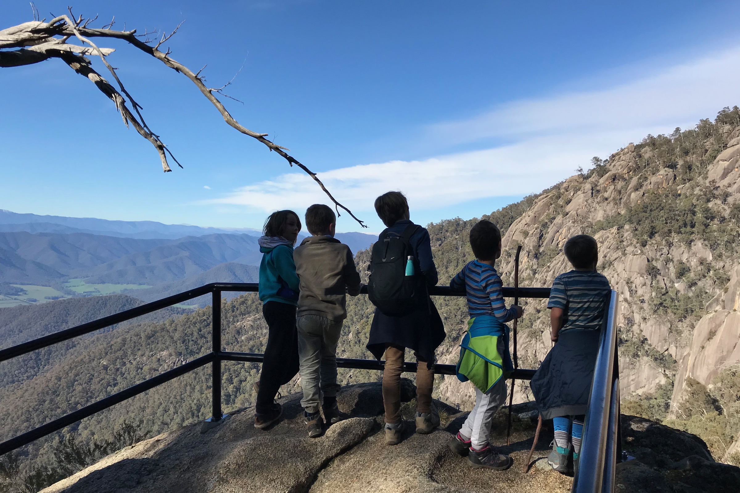
Longer Walks
A natural progression from the mountain's beautiful short walks, each of these longer day walks will reward your efforts and leave you feeling exhilarated and ready for more. Hike for the day or camp overnight at Lake Catani or one of the remote campsites and walk more than one.

Safety on longer walks
Alpine weather is unpredictable and can catch out the unprepared, even in summer. These walks weave their way through remote bush, change direction constantly and cover variable terrain that can climb and descend rapidly. There's little to no mobile phone coverage and few other walkers. (This is exactly what you're seeking on walks like this, of course!) For safety's sake let someone know your intended route and finish time, come prepared with appropriate clothing, food and water, and consider carrying a Personal Locator Beacon or similar device.
Track Notes
Download the Parks Victoria Visitor Guide.
The Big Walk
Location: Park Entrance/The Chalet
Type: Point to point
Length: 11.3km one way
Time: 4-5 hours one way
Description: The longest point to point walk on Mount Buffalo, this track climbs around 1,000m from the park entrance to the Gorge Day Visitor Area. The walk highlights the unique biodiversity and geology of Mount Buffalo and provides plenty of opportunities to rest and enjoy superb view of the Australian Alps. There are opportunities along the Mount Buffalo Road to start or finish the walk.
Mount McLeod Track
Trailhead: Reservoir Picnic Area
Type: Return
Length: 16km
Time: 6 hours
Description: Starting near Reservoir Picnic Area, the track leads to the most remote part of the park, North Buffalo Plateau. As an alternative route, try the Mount McLeod Shortcut track. Remote camping is available and can be used as a base for exploring the plateau.
Mac's Point
Trailhead: Mount Buffalo Road
Type: Return
Length: 7km
Time: 3-4 hours
Description: Start at the snow plain 300m south of the Leviathan to reach Macs Point. This track links into Stanley Rocks and Giants Causeway.
The Back Wall
Trailhead: Cresta Valley
Type: Return
Length: 12km
Time: 4 hours
Description: Starting from Dicksons Falls Nature Walk, this walk takes you to the southernmost point on the plateau, passing Giant’s Playground and ending with stunning views from the top of the Back Wall.
Rocky Creek Track
Trailhead: Reservoir Picnic Area
Type: Return
Length: 13km
Time: 4 hours
Description: From the Reservoir this management vehicle track links in with Long Plain, Macs Point and Mollisons Galleries Tracks, terminating at the remote Rocky Creek Campground.
Eagle Point and Mollinsons Galleries
Trailhead: Reservoir Picnic Area
Type: Return
Length: 18km
Time: 6 hours
Description: Start on Mount McLeod Track turning left after 300m. Detour to Og, Gog & Magog and Eagle Point along the way. The track ends at the rocky outcrop of Mollison's Galleries providing views into the Buffalo River Valley. An alternative return route is available via the Rocky Creek loop track.
South Buffalo Lookout
Trailhead: Cresta Valley
Type: Return
Length: 8km
Time: 3 hours
Description: From Cresta Valley this track initially climbs a ridge, then meanders through Snow Gum meadows and small snow plains, terminating at the South Buffalo view point.
Long Plain Track to Mt Dunn
Trailhead: Reservoir Picnic Area
Type: Return
Length: 6km
Time: 2 hours
Description: Reach Mount Dunn via this picturesque track starting near Lake Catani. The first 1.5km is flat walking along the creek then gently starts climbing up to Mt Dunn. Other tracks and destinations can be accessed from Mt Dunn. Use the map to create your own walking adventure by linking tracks.